
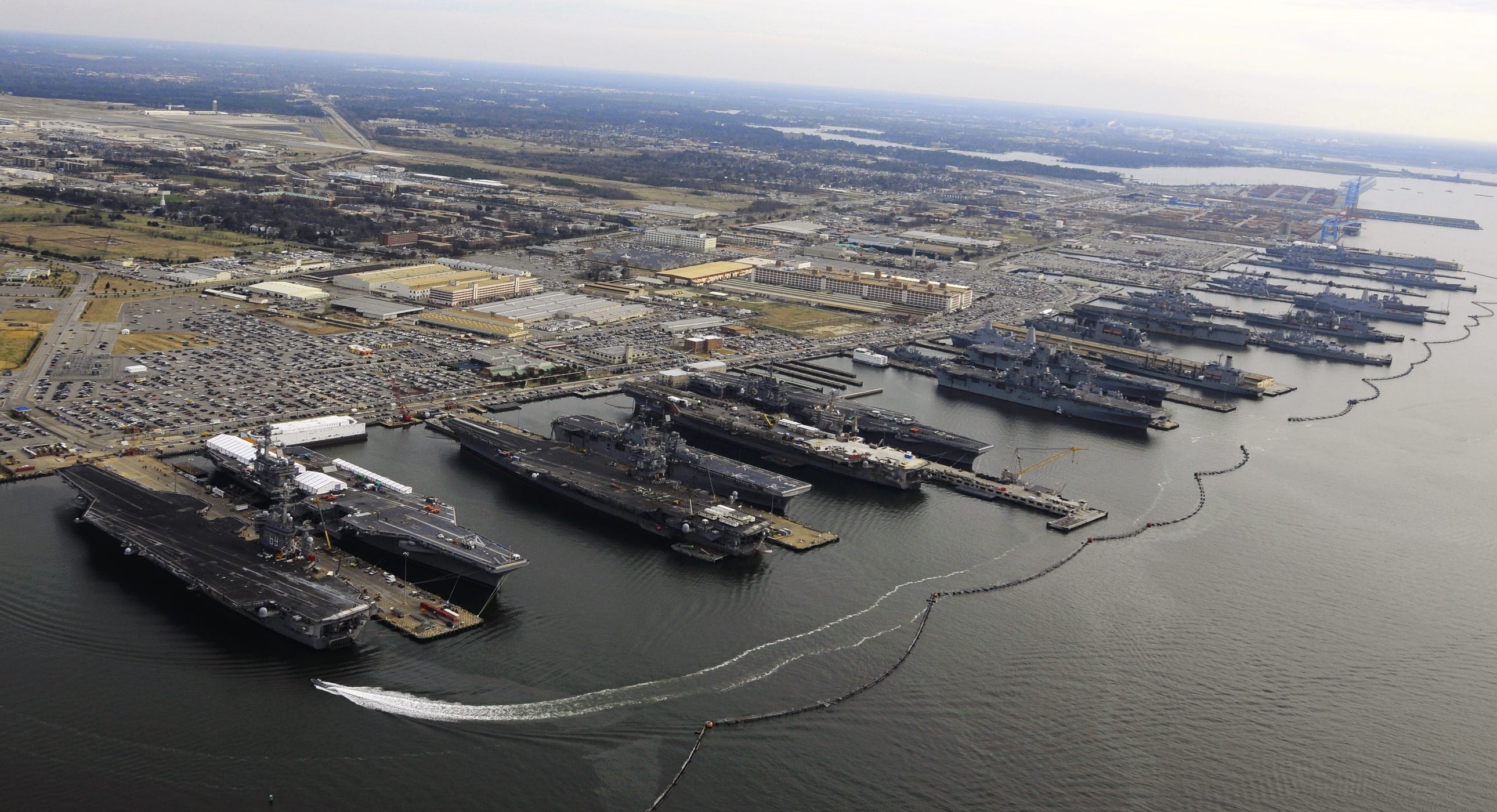
NORFOLK — Naval Station Norfolk, the U.S. Navy installation on Sewell’s Point that Navy Region Mid-Atlantic describes as the largest naval complex in the world, stated on September 1 that it had put in place increased security measures and changed how people enter the base.
The installation said some gates were closed or were running with fewer lanes and told personnel to expect delays and to allow extra time to get on the base. It said it was watching developments with law enforcement and security partners and would change the measures as needed.
The notice named no specific threat, published no Force Protection Condition, the five-level U.S. military system that sets how tightly an installation is guarded, and did not list which gates were shut.
It said further information would be released when it was available and appropriate for public release. U.S. Fleet Forces Command, Commander, Navy Installations Command, Navy Region Mid-Atlantic, and U.S. Northern Command had issued no matching public notice on the same measure as of 3:48 a.m. UTC on September 1.
Location
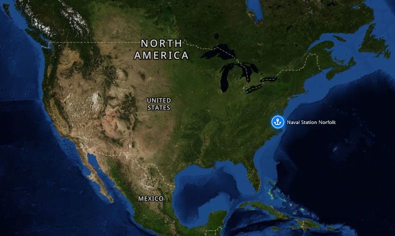
Naval Station Norfolk sits on Sewell’s Point in Norfolk, Virginia, on the Hampton Roads harbor, about 150 miles (241 km) south of Washington. Navy Region Mid-Atlantic states that the complex supports the operational readiness of the U.S. Atlantic Fleet.
Approximate installation coordinates, taken from the U.S. Geological Survey place record for Naval Station Norfolk, are 36.94, -76.30. The September 1 notice applied to access onto that installation. It did not name any other base.