

COLOMBIA — A magnitude Mw 7.4 earthquake struck western Colombia on August 10 at 7:34 a.m. local time (12:34 p.m. UTC) at a depth of 68.5 miles (110.3 km).
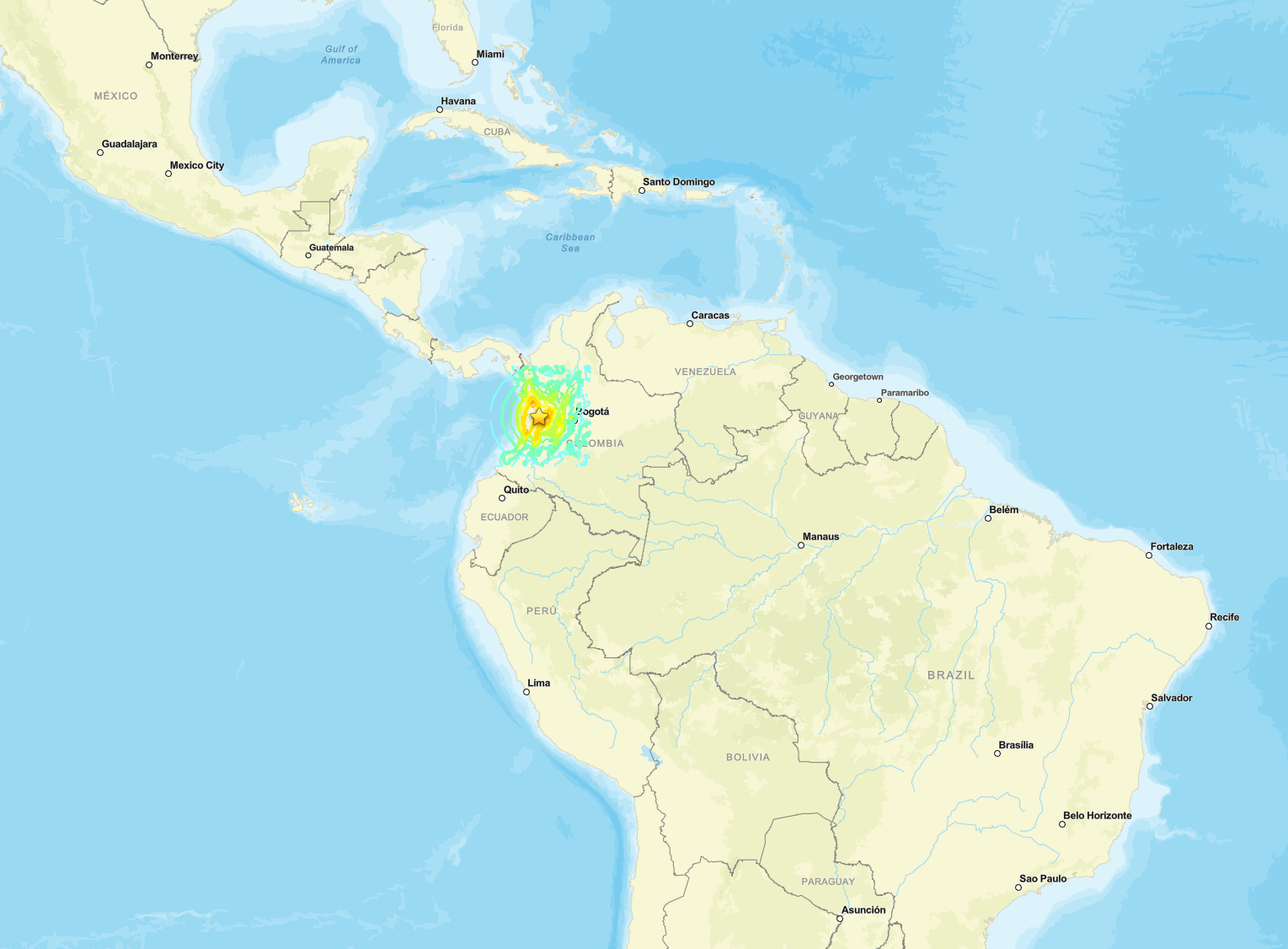


The intermediate-depth event was centered at 4.844°N, 76.242°W, approximately 3 miles (5 km) south of San José del Palmar in the department of Chocó.
The United States Geological Survey classified the event as reviewed. The rupture occurred as primarily strike-slip faulting within the subducting Nazca plate beneath the South America plate. Approximately 10.5 million people experienced strong to very strong shaking.
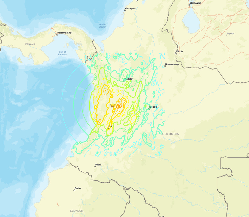
Colombia’s National Unit for Disaster Risk Management and presidential statements reported significant casualties and structural damage across multiple western departments, including Risaralda, Valle del Cauca, and Chocó.
The Pacific Tsunami Warning Center and Colombian maritime authorities stated there was no tsunami threat. Aftershocks followed, including events in the magnitude 4-5 range.
Key Seismic Parameters
Magnitude: Mw 7.4 (USGS); W-phase moment magnitude 7.41 Mww
Depth: 68.5 miles (110.3 km) origin solution; moment-tensor depth 74.9 miles (120.5 km)
Epicenter coordinates: 4.844°N 76.242°W
Time: 7:34 a.m. local time (12:34:28 p.m. UTC) August 10
Location: 3 miles (5 km) south of San José del Palmar, Chocó department, Colombia
Focal Mechanism: primarily strike-slip (87 percent double-couple); nodal planes NP1 strike 226° dip 72° rake 33° and NP2 strike 124° dip 59° rake 159°
Tectonic Setting: intermediate-depth event within the subducting Nazca plate beneath the South America plate
PAGER Alert Level: RED (USGS executive product)
ShakeMap peak intensity: MMI VIII (Severe) in the hardest-hit areas near the epicenter
Tsunami Warning Status: No tsunami threat; PTWC and Colombian authorities confirmed the depth and inland location precluded significant wave generation
