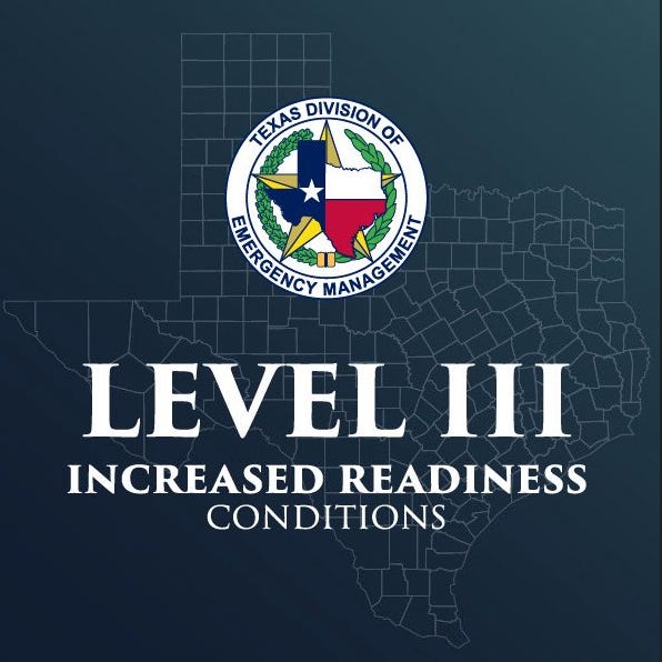
Texas State Operations Center Maintains Level III Increased Readiness Amid Ongoing Severe Weather Threat
The elevation supports enhanced monitoring and resource coordination for heavy rainfall and associated flash flooding risks that developed overnight and persist into Friday, 21 November.
TEXAS — The Texas State Operations Center remains at Level III (Increased Readiness) as directed by Governor Greg Abbott on 19 November, with 24-hour operations continuing in response to an active severe weather system affecting multiple regions of the state.
The elevation supports enhanced monitoring and resource coordination for heavy rainfall and associated flash flooding risks that developed overnight and persist into Friday, 21 November. No change in readiness level has been announced as of 20 November.
National Weather Service assessments confirm a Moderate Risk of Excessive Rainfall across portions of South-Central Texas through Thursday night into Friday morning.
Forecast totals generally range from 1 to 3 inches, with isolated higher amounts of 6 to 8 inches possible in the western Hill Country and Southern Edwards Plateau regions, where terrain and antecedent dry conditions may nevertheless produce rapid runoff.
A Flood Watch remains in effect for areas generally along and west of Interstate 35 and along and north of U.S. Highway 90 from midnight Thursday, 20 November, through 6 a.m. Friday, 21 November.
Additional severe thunderstorms capable of damaging winds, large hail, and isolated tornadoes are possible within the broader threat area.
Pre-positioned state resources continue to support local jurisdictions. Available assets include swiftwater rescue capabilities, high-water vehicles, aerial hoist assets, fire mutual aid strike teams, emergency medical packages, and infrastructure monitoring teams as previously detailed.
Official Statements
“In preparation for forecasted severe storms, I directed the Texas Division of Emergency Management to increase the readiness level of the State Operations Center. Texas stands ready to respond and swiftly deploy all necessary resources to support local officials with response operations and ensure the safety of Texans. Texans are urged to remain weather-aware and heed the guidance of state and local officials and emergency response personnel to protect themselves and their loved ones.” - Governor Greg Abbott on 19 November.
Risk/Impact Matrix
Flash Flooding (South-Central Texas Focus)
Likelihood: High (Moderate Risk designation; active Flood Watch; 1–3 inches widespread, isolated 6–8 inches)
Impact Dimensions: Infrastructure (road closures, low-water crossings), Human (potential rescues, displacement), Environmental (rapid river/creek rises)
Mitigation Status: Moderate–High (Level III SOC with 24-hour staffing; pre-positioned swiftwater boats, helicopters, strike teams)
Evidence: Weather Prediction Center Moderate Risk of Excessive Rainfall (Short Range Public Discussion 20502, 19 November); NWS Austin/San Antonio Flood Watch valid 20–21 November; observed rainfall rates and terrain sensitivity noted in forecast discussions
Severe Thunderstorms (Including Isolated Tornado Risk)
Likelihood: Medium–High
Impact Dimensions: Infrastructure (wind damage, power outages), Human (injury risk from hail/winds)
Mitigation Status: Moderate (pre-positioned mutual aid and public safety assets)
Evidence: Storm Prediction Center and NWS outlooks 20–21 November


